Barking Tye
Introduction
The photograph on this page of Barking Tye by Roger Jones as part of the Geograph project.
The Geograph project started in 2005 with the aim of publishing, organising and preserving representative images for every square kilometre of Great Britain, Ireland and the Isle of Man.

There are currently over 7.5m images from over 14,400 individuals and you can help contribute to the project by visiting https://www.geograph.org.uk
Barking Tye
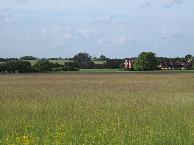
Image: © Roger Jones Taken: 25 May 2014
A Tye is a grazing pasture, often used by drovers from afar taking livestock to market. Hamlets with the suffix Tye can be some distance from the village or town after which they are named, often at road junctions where communities grew up to service the passing trade.
Images are licensed for reuse under creativecommons.org/licenses/by-sa/2.0
Image Location
Latitude
52.129598
Longitude
1.015545