The West Highland Way approaching Lettreburn
Introduction
The photograph on this page of The West Highland Way approaching Lettreburn by Tim Heaton as part of the Geograph project.
The Geograph project started in 2005 with the aim of publishing, organising and preserving representative images for every square kilometre of Great Britain, Ireland and the Isle of Man.

There are currently over 7.5m images from over 14,400 individuals and you can help contribute to the project by visiting https://www.geograph.org.uk
The West Highland Way approaching Lettreburn
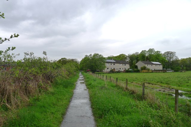
Image: © Tim Heaton Taken: 12 May 2014
Still following what is now becoming a slightly monotonous railway track - though it provides the advantage of a relatively dry path compared with the neighbouring sodden fields.
Images are licensed for reuse under creativecommons.org/licenses/by-sa/2.0
Image Location
Latitude
56.028512
Longitude
-4.379903