Hertford Union Canal filling up with water
Introduction
The photograph on this page of Hertford Union Canal filling up with water by Marathon as part of the Geograph project.
The Geograph project started in 2005 with the aim of publishing, organising and preserving representative images for every square kilometre of Great Britain, Ireland and the Isle of Man.

There are currently over 7.5m images from over 14,400 individuals and you can help contribute to the project by visiting https://www.geograph.org.uk
Hertford Union Canal filling up with water
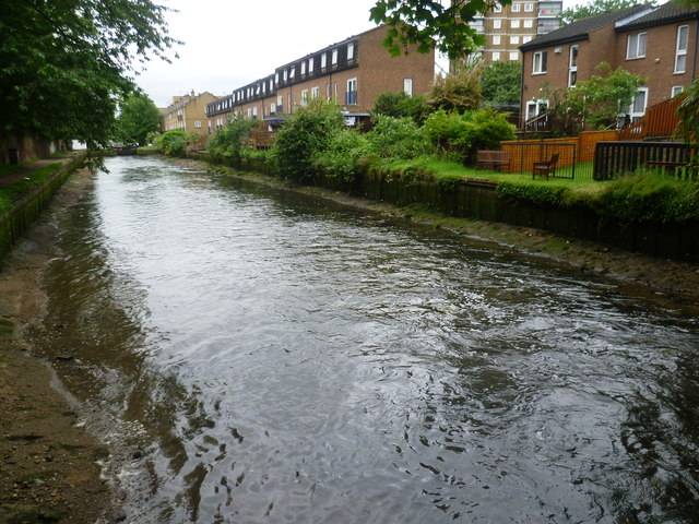
Image: © Marathon Taken: 28 May 2014
The Hertford Union Canal was opened in 1830 to connect the Regent's Canal with the Lee Navigation, and was originally known as Duckett's Canal after Sir George Duckett who financed its construction. It has three locks, all towards its eastern end Old Ford Top Lock, Middle Lock and Bottom Lock. This view looks from near Old Ford Top Lock towards Old Ford Middle Lock. A few minutes earlier this section was only a couple of feet deep after a boat had passed through, but now water was rapidly filling it by pouring through the gates of the Top Lock. See http://www.geograph.org.uk/photo/4002235 The houses on the right are in Jodrell Road.
Images are licensed for reuse under creativecommons.org/licenses/by-sa/2.0
Image Location
Latitude
51.538769
Longitude
-0.028149