Bridleway near to Llywndrain
Introduction
The photograph on this page of Bridleway near to Llywndrain by Dawn Faith Worrall as part of the Geograph project.
The Geograph project started in 2005 with the aim of publishing, organising and preserving representative images for every square kilometre of Great Britain, Ireland and the Isle of Man.

There are currently over 7.5m images from over 14,400 individuals and you can help contribute to the project by visiting https://www.geograph.org.uk
Bridleway near to Llywndrain
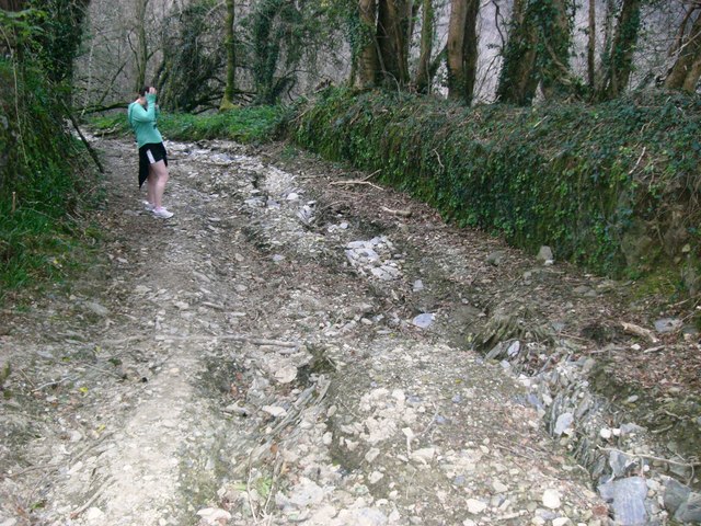
Image: © Dawn Faith Worrall Taken: 13 Apr 2007
Bridleway running alongside the Afon Pedran. The ground shows evidence of deep erosion probably due to water during times of high rainfall.
Images are licensed for reuse under creativecommons.org/licenses/by-sa/2.0
Image Location


Leaflet Map data © OpenStreetMap
Latitude
51.976507
Longitude
-4.51862