The top of Hounds Gate
Introduction
The photograph on this page of The top of Hounds Gate by John Sutton as part of the Geograph project.
The Geograph project started in 2005 with the aim of publishing, organising and preserving representative images for every square kilometre of Great Britain, Ireland and the Isle of Man.

There are currently over 7.5m images from over 14,400 individuals and you can help contribute to the project by visiting https://www.geograph.org.uk
The top of Hounds Gate
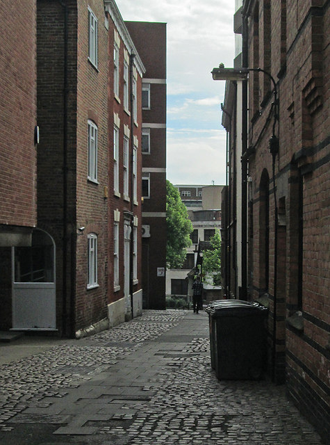
Image: © John Sutton Taken: 26 May 2014
The narrow upper end of Hounds Gate, near the castle. The side of Watson Fothergill's Mortimer House is on the right. Image] is a view in the other direction.
Images are licensed for reuse under creativecommons.org/licenses/by-sa/2.0
Image Location
Latitude
52.950852
Longitude
-1.153228