Corscombe Lane to Higher Corscombe
Introduction
The photograph on this page of Corscombe Lane to Higher Corscombe by David Smith as part of the Geograph project.
The Geograph project started in 2005 with the aim of publishing, organising and preserving representative images for every square kilometre of Great Britain, Ireland and the Isle of Man.

There are currently over 7.5m images from over 14,400 individuals and you can help contribute to the project by visiting https://www.geograph.org.uk
Corscombe Lane to Higher Corscombe
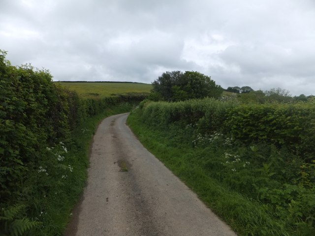
Image: © David Smith Taken: 27 May 2014
On the right, a small copse of mixed trees marks the end of a field boundary at the bend in the lane. This is part of the Devonshire Heartland Way
Images are licensed for reuse under creativecommons.org/licenses/by-sa/2.0
Image Location
Latitude
50.750745
Longitude
-3.947236