Track between fields near Higher Corscombe
Introduction
The photograph on this page of Track between fields near Higher Corscombe by David Smith as part of the Geograph project.
The Geograph project started in 2005 with the aim of publishing, organising and preserving representative images for every square kilometre of Great Britain, Ireland and the Isle of Man.

There are currently over 7.5m images from over 14,400 individuals and you can help contribute to the project by visiting https://www.geograph.org.uk
Track between fields near Higher Corscombe
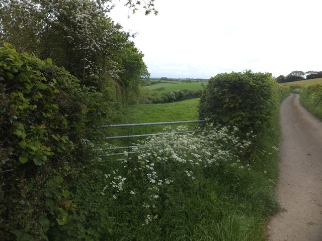
Image: © David Smith Taken: 27 May 2014
This hedge and track lead at an oblique angle into the valley; the gate looks little used. On an older OS map, the track gave access to some quarries, so the oblique angle gave a gentle slope.
Images are licensed for reuse under creativecommons.org/licenses/by-sa/2.0
Image Location
Latitude
50.750757
Longitude
-3.951915