Footpaths, Coley
Introduction
The photograph on this page of Footpaths, Coley by Mark Anderson as part of the Geograph project.
The Geograph project started in 2005 with the aim of publishing, organising and preserving representative images for every square kilometre of Great Britain, Ireland and the Isle of Man.

There are currently over 7.5m images from over 14,400 individuals and you can help contribute to the project by visiting https://www.geograph.org.uk
Footpaths, Coley
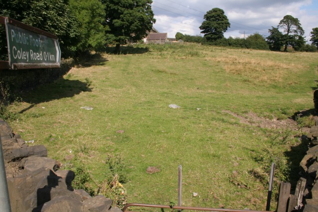
Image: © Mark Anderson Taken: 19 Aug 2005
Looking NW from Denholme Gate Lane at SE 121 273. Although there is only one waymarker, two footpaths lead away from here to the left along the trees and to the right of the frame.
Images are licensed for reuse under creativecommons.org/licenses/by-sa/2.0
Image Location


Leaflet Map data © OpenStreetMap
Latitude
53.741943
Longitude
-1.818024