Looking towards River Minnis and Loganberry Farm
Introduction
The photograph on this page of Looking towards River Minnis and Loganberry Farm by Adam Hincks as part of the Geograph project.
The Geograph project started in 2005 with the aim of publishing, organising and preserving representative images for every square kilometre of Great Britain, Ireland and the Isle of Man.

There are currently over 7.5m images from over 14,400 individuals and you can help contribute to the project by visiting https://www.geograph.org.uk
Looking towards River Minnis and Loganberry Farm
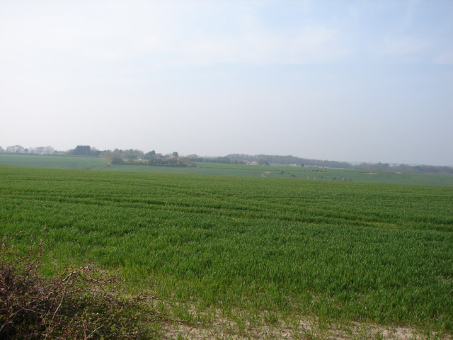
Image: © Adam Hincks Taken: 13 Apr 2007
Taken from Abbey Road looking towards Minnis Lane with River Minnis Farm and Loganberry Farm visible on the chalk tops. This area of land, on the outskirts of Dover, is predominately arable, with intermittent grassland and horse paddocks.
Images are licensed for reuse under creativecommons.org/licenses/by-sa/2.0
Image Location
Latitude
51.137326
Longitude
1.264803