Strathblane Parish Kirkyard
Introduction
The photograph on this page of Strathblane Parish Kirkyard by Lairich Rig as part of the Geograph project.
The Geograph project started in 2005 with the aim of publishing, organising and preserving representative images for every square kilometre of Great Britain, Ireland and the Isle of Man.

There are currently over 7.5m images from over 14,400 individuals and you can help contribute to the project by visiting https://www.geograph.org.uk
Strathblane Parish Kirkyard
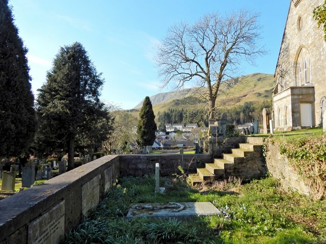
Image: © Lairich Rig Taken: 18 Apr 2014
This enclosure is to the south-west of the church (for which, see Image), and contains stones commemorating various members of the Miller-Stirling family.
Images are licensed for reuse under creativecommons.org/licenses/by-sa/2.0
Image Location
Latitude
55.985729
Longitude
-4.304325