Campsie Road
Introduction
The photograph on this page of Campsie Road by Lairich Rig as part of the Geograph project.
The Geograph project started in 2005 with the aim of publishing, organising and preserving representative images for every square kilometre of Great Britain, Ireland and the Isle of Man.

There are currently over 7.5m images from over 14,400 individuals and you can help contribute to the project by visiting https://www.geograph.org.uk
Campsie Road
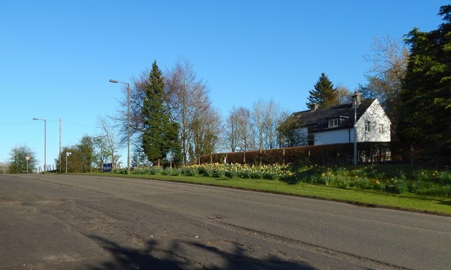
Image: © Lairich Rig Taken: 18 Apr 2014
After heading north along Image, the John Muir Way turns right (east) to take Campsie Road, shown here. Almost opposite the parish church, the route turns right (south), as indicated by a small blue sign that can be seen in the distance, on the left, in the present picture: see Image for a closer look. That sign points to the nearby start of the Strathblane Railway Path. The John Muir Way follows the railway path for a few kilometres. (At the time of writing, online mapping calls this Strathblane Road, but this appears to be wrong: street signs near the junction with Glasgow Road give the name Campsie Road instead.)
Images are licensed for reuse under creativecommons.org/licenses/by-sa/2.0
Image Location
Latitude
55.985568
Longitude
-4.303354