Path through Milndavie Glen
Introduction
The photograph on this page of Path through Milndavie Glen by Lairich Rig as part of the Geograph project.
The Geograph project started in 2005 with the aim of publishing, organising and preserving representative images for every square kilometre of Great Britain, Ireland and the Isle of Man.

There are currently over 7.5m images from over 14,400 individuals and you can help contribute to the project by visiting https://www.geograph.org.uk
Path through Milndavie Glen
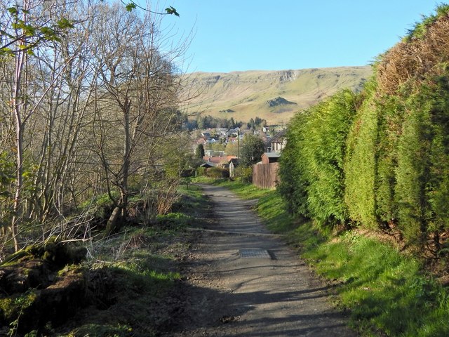
Image: © Lairich Rig Taken: 18 Apr 2014
This is a continuation of the path shown in Image Dumbrock Road is not far ahead. At the point where the path meets that road (Image), the John Muir Way turns to the right, heading east along the road: Image
Images are licensed for reuse under creativecommons.org/licenses/by-sa/2.0
Image Location
Latitude
55.982584
Longitude
-4.309108