Pasford Mill
Introduction
The photograph on this page of Pasford Mill by John M as part of the Geograph project.
The Geograph project started in 2005 with the aim of publishing, organising and preserving representative images for every square kilometre of Great Britain, Ireland and the Isle of Man.

There are currently over 7.5m images from over 14,400 individuals and you can help contribute to the project by visiting https://www.geograph.org.uk
Pasford Mill
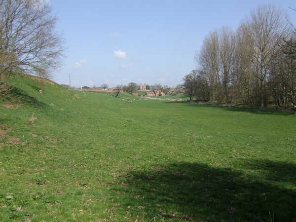
Image: © John M Taken: 7 Apr 2007
Pasford Mill sits in the low valley of the Nun Brook. The brook forms the county boundary at this point.
Images are licensed for reuse under creativecommons.org/licenses/by-sa/2.0
Image Location
Latitude
52.585467
Longitude
-2.295441