Hollow Shore from the Harty Ferry Road
Introduction
The photograph on this page of Hollow Shore from the Harty Ferry Road by Penny Mayes as part of the Geograph project.
The Geograph project started in 2005 with the aim of publishing, organising and preserving representative images for every square kilometre of Great Britain, Ireland and the Isle of Man.

There are currently over 7.5m images from over 14,400 individuals and you can help contribute to the project by visiting https://www.geograph.org.uk
Hollow Shore from the Harty Ferry Road
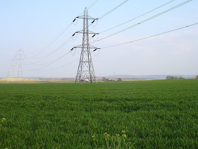
Image: © Penny Mayes Taken: 9 Apr 2007
The buildings (which include the Shipwrights Arms) seen through the feet of the pylon are at Hollow Shore, the confluence of Oare Creek with Faversham Creek. I notice that Hollow Shore appears as Holly Shore on the 19th century map but I suspect this is a cartographer error.
Images are licensed for reuse under creativecommons.org/licenses/by-sa/2.0
Image Location
Latitude
51.33525
Longitude
0.894321