After the Battle!
Introduction
The photograph on this page of After the Battle! by David Williams as part of the Geograph project.
The Geograph project started in 2005 with the aim of publishing, organising and preserving representative images for every square kilometre of Great Britain, Ireland and the Isle of Man.

There are currently over 7.5m images from over 14,400 individuals and you can help contribute to the project by visiting https://www.geograph.org.uk
After the Battle!
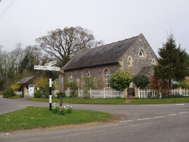
Image: © David Williams Taken: 13 Apr 2007
This area of Breckland - in the Parish of Great Cressingham - is on the edge of a Ministry of Defence training area. Maybe the clue is in the name of the place - The Arms. The chapel is now a private residence but armoured vehicles and troops still pass this way to the Battle Area. It's clearly signposted just in case the Army have navigation problems!
Images are licensed for reuse under creativecommons.org/licenses/by-sa/2.0
Image Location
Latitude
52.549198
Longitude
0.762628