Bath Place
Introduction
The photograph on this page of Bath Place by Neil Owen as part of the Geograph project.
The Geograph project started in 2005 with the aim of publishing, organising and preserving representative images for every square kilometre of Great Britain, Ireland and the Isle of Man.

There are currently over 7.5m images from over 14,400 individuals and you can help contribute to the project by visiting https://www.geograph.org.uk
Bath Place
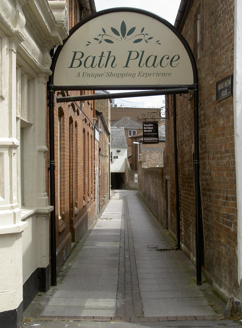
Image: © Neil Owen Taken: 26 May 2014
This ancient lane runs past a church and into the High Street. It dates from the Middle Ages and was the principal passage to the west of the town until the late nineteenth century.
Images are licensed for reuse under creativecommons.org/licenses/by-sa/2.0
Image Location


Leaflet Map data © OpenStreetMap
Latitude
51.014096
Longitude
-3.106158