Danbury Park School
Introduction
The photograph on this page of Danbury Park School by Malcolm Reid as part of the Geograph project.
The Geograph project started in 2005 with the aim of publishing, organising and preserving representative images for every square kilometre of Great Britain, Ireland and the Isle of Man.

There are currently over 7.5m images from over 14,400 individuals and you can help contribute to the project by visiting https://www.geograph.org.uk
Danbury Park School
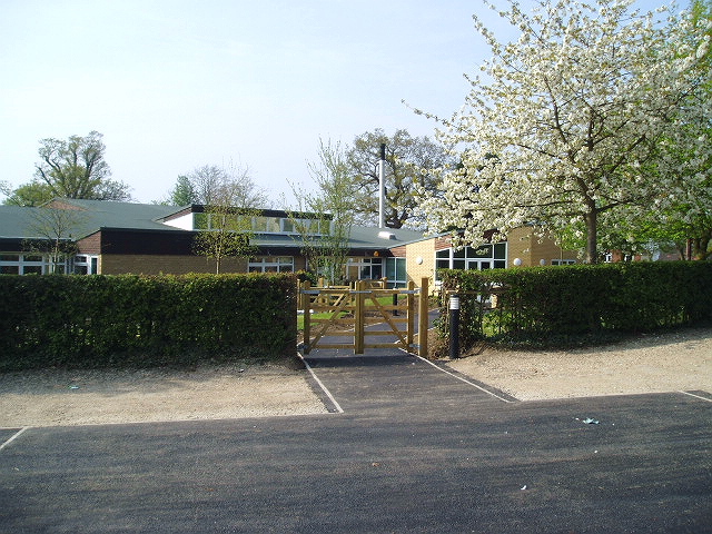
Image: © Malcolm Reid Taken: 13 Apr 2007
Danbury Park School is situated at the junction of well lane with the A414. It is one of three primary schools in the village and has a good reputation.
Images are licensed for reuse under creativecommons.org/licenses/by-sa/2.0
Image Location
Latitude
51.718049
Longitude
0.564841