While you can (12): "Cobb's Corner" from the Eastbridge Road
Introduction
The photograph on this page of While you can (12): "Cobb's Corner" from the Eastbridge Road by Zorba the Geek as part of the Geograph project.
The Geograph project started in 2005 with the aim of publishing, organising and preserving representative images for every square kilometre of Great Britain, Ireland and the Isle of Man.

There are currently over 7.5m images from over 14,400 individuals and you can help contribute to the project by visiting https://www.geograph.org.uk
While you can (12): "Cobb's Corner" from the Eastbridge Road
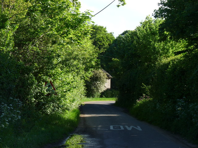
Image: © Zorba the Geek Taken: 22 May 2014
A series of images of places likely to change when Sizewell C Nuclear Power Station is built. The proposed route for the access road to Sizewell C cuts right across road in the foreground of this picture, between "Cobb's Corner" and the track leading to Upper Abbey Farm. What will happen to "Cobb's Cottage" http://www.geograph.org.uk/photo/3997273 or the traditional names?
Images are licensed for reuse under creativecommons.org/licenses/by-sa/2.0
Image Location
Latitude
52.223942
Longitude
1.584318