Renshaw Industrial Estate behind houses on The Slough A448, Studley
Introduction
The photograph on this page of Renshaw Industrial Estate behind houses on The Slough A448, Studley by Robin Stott as part of the Geograph project.
The Geograph project started in 2005 with the aim of publishing, organising and preserving representative images for every square kilometre of Great Britain, Ireland and the Isle of Man.

There are currently over 7.5m images from over 14,400 individuals and you can help contribute to the project by visiting https://www.geograph.org.uk
Renshaw Industrial Estate behind houses on The Slough A448, Studley
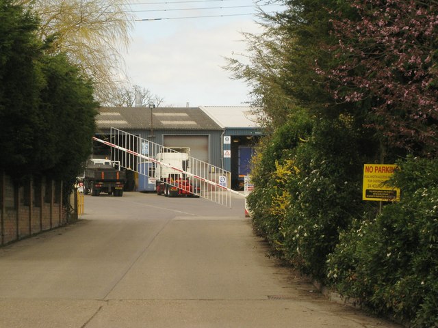
Image: © Robin Stott Taken: 19 Apr 2013
The industrial estate is extensive; according to the 1:25 000 map, a public footpath goes through it.
Images are licensed for reuse under creativecommons.org/licenses/by-sa/2.0
Image Location
Latitude
52.272055
Longitude
-1.917447