What are we going to do now?
Introduction
The photograph on this page of What are we going to do now? by Stuart Logan as part of the Geograph project.
The Geograph project started in 2005 with the aim of publishing, organising and preserving representative images for every square kilometre of Great Britain, Ireland and the Isle of Man.

There are currently over 7.5m images from over 14,400 individuals and you can help contribute to the project by visiting https://www.geograph.org.uk
What are we going to do now?
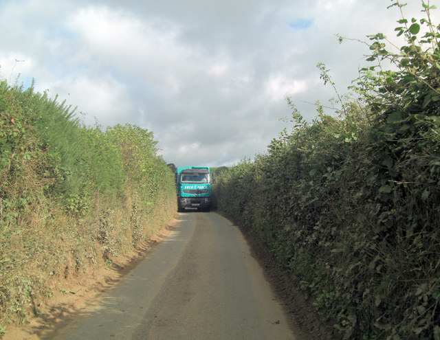
Image: © Stuart Logan Taken: 8 Oct 2013
The answer is always the same on these narrow Devon lanes. The smaller vehicle, or more polite driver, reverses to the nearest farm gateway; which in this case is Cole's Cross to the southwest.
Images are licensed for reuse under creativecommons.org/licenses/by-sa/2.0
Image Location
Latitude
50.311294
Longitude
-3.713488