Fairfield, gardens
Introduction
The photograph on this page of Fairfield, gardens by Mike Faherty as part of the Geograph project.
The Geograph project started in 2005 with the aim of publishing, organising and preserving representative images for every square kilometre of Great Britain, Ireland and the Isle of Man.

There are currently over 7.5m images from over 14,400 individuals and you can help contribute to the project by visiting https://www.geograph.org.uk
Fairfield, gardens
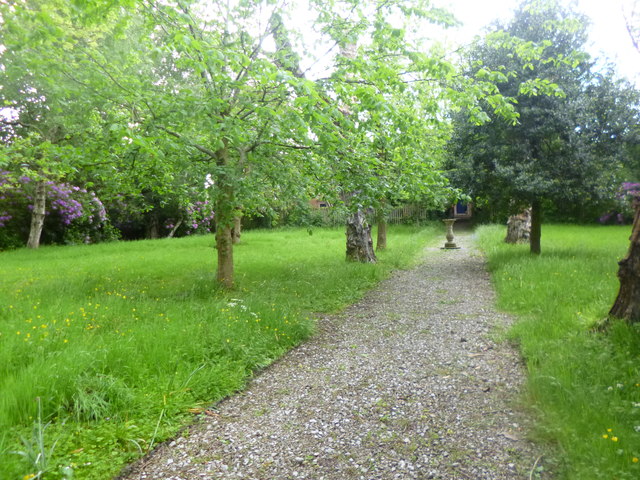
Image: © Mike Faherty Taken: 25 May 2014
In the Moravian Settlement; look carefully in the (pleasingly) long grass, and C19 gravestones are to be seen, lying flat - this was once a graveyard. The sundial in the distance is listed by English Heritage. http://www.moravian.org.uk/index.php/uk-congregations-list-for-the-moravian-church/lancashire-district/fairfield http://www.imagesofengland.org.uk/Details/Default.aspx?id=438583&mode=quick
Images are licensed for reuse under creativecommons.org/licenses/by-sa/2.0
Image Location
Latitude
53.474586
Longitude
-2.149718