South of Tatsfield
Introduction
The photograph on this page of South of Tatsfield by Ian Capper as part of the Geograph project.
The Geograph project started in 2005 with the aim of publishing, organising and preserving representative images for every square kilometre of Great Britain, Ireland and the Isle of Man.

There are currently over 7.5m images from over 14,400 individuals and you can help contribute to the project by visiting https://www.geograph.org.uk
South of Tatsfield
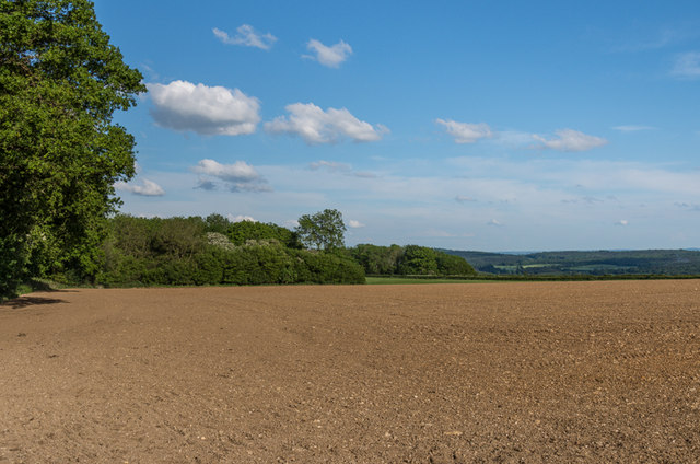
Image: © Ian Capper Taken: 23 May 2014
Farmland off Approach Road at the top of the North Downs, with the Kent Weald in the background.
Images are licensed for reuse under creativecommons.org/licenses/by-sa/2.0
Image Location


Leaflet Map data © OpenStreetMap
Latitude
51.286318
Longitude
0.019645