Lindsey Street
Introduction
The photograph on this page of Lindsey Street by Lynda Poulter as part of the Geograph project.
The Geograph project started in 2005 with the aim of publishing, organising and preserving representative images for every square kilometre of Great Britain, Ireland and the Isle of Man.

There are currently over 7.5m images from over 14,400 individuals and you can help contribute to the project by visiting https://www.geograph.org.uk
Lindsey Street
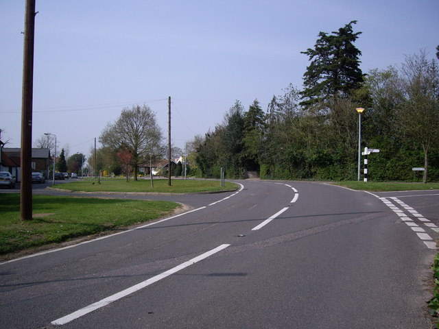
Image: © Lynda Poulter Taken: 13 Apr 2007
The original Lindsey Street dates back to about the year 1200. At one time it being the main road through Epping to Epping Upland. The road at the junction on the right is Maltings Lane which once housed the local brewery.
Images are licensed for reuse under creativecommons.org/licenses/by-sa/2.0
Image Location
Latitude
51.704413
Longitude
0.116395