Pheasant Farm
Introduction
The photograph on this page of Pheasant Farm by Penny Mayes as part of the Geograph project.
The Geograph project started in 2005 with the aim of publishing, organising and preserving representative images for every square kilometre of Great Britain, Ireland and the Isle of Man.

There are currently over 7.5m images from over 14,400 individuals and you can help contribute to the project by visiting https://www.geograph.org.uk
Pheasant Farm
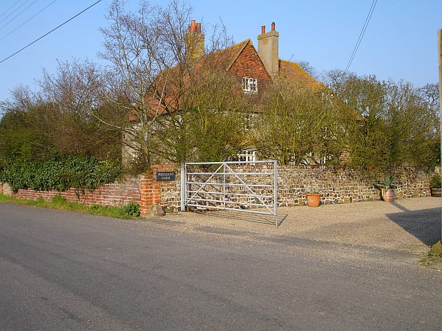
Image: © Penny Mayes Taken: 9 Apr 2007
Pheasant farmhouse on Church Road, Oare, is partially obscured by trees in this shot but the large gates lead into the farmyard. But this is no longer a working farm and the barn has been converted for residential purposes.
Images are licensed for reuse under creativecommons.org/licenses/by-sa/2.0
Image Location


Leaflet Map data © OpenStreetMap
Latitude
51.332992
Longitude
0.880108