Property at junction of High Road and Church Lane.
Introduction
The photograph on this page of Property at junction of High Road and Church Lane. by Paul Eggleston as part of the Geograph project.
The Geograph project started in 2005 with the aim of publishing, organising and preserving representative images for every square kilometre of Great Britain, Ireland and the Isle of Man.

There are currently over 7.5m images from over 14,400 individuals and you can help contribute to the project by visiting https://www.geograph.org.uk
Property at junction of High Road and Church Lane.
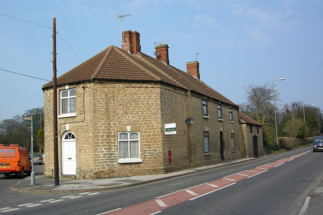
Image: © Paul Eggleston Taken: 1 Apr 2007
Early C19th. Formerly Toll Cottage and later Public House. Now two dwellinghouses.
Images are licensed for reuse under creativecommons.org/licenses/by-sa/2.0
Image Location
Latitude
53.347268
Longitude
-1.114902