Ordnance Survey Pivot (Remains)
Introduction
The photograph on this page of Ordnance Survey Pivot (Remains) by Adrian Dust as part of the Geograph project.
The Geograph project started in 2005 with the aim of publishing, organising and preserving representative images for every square kilometre of Great Britain, Ireland and the Isle of Man.

There are currently over 7.5m images from over 14,400 individuals and you can help contribute to the project by visiting https://www.geograph.org.uk
Ordnance Survey Pivot (Remains)
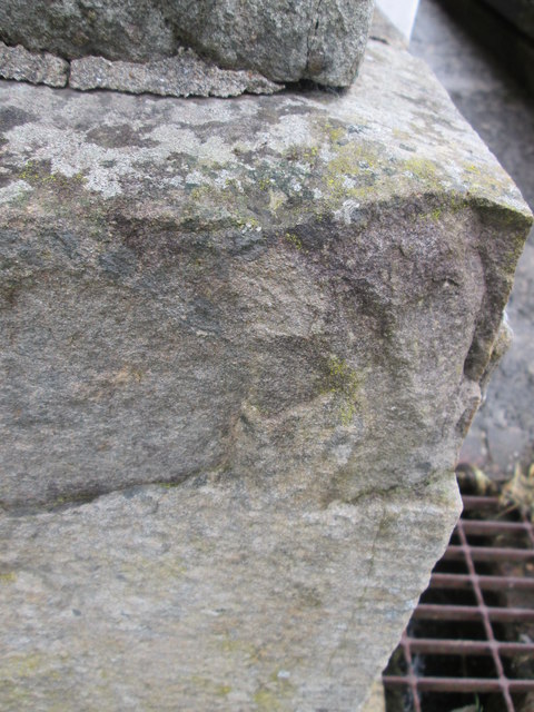
Image: © Adrian Dust Taken: 25 May 2014
All that is left is the depression on the ledge as the arrow of the pivot has been eroded. It can be found on the NE angle of the Salem Chapel and it marked a point 149.82m above mean sea level. http://www.geograph.org.uk/photo/3994261
Images are licensed for reuse under creativecommons.org/licenses/by-sa/2.0
Image Location
Latitude
51.709185
Longitude
-3.943841