Whitecross Cross-Roads
Introduction
The photograph on this page of Whitecross Cross-Roads by Eric Jones as part of the Geograph project.
The Geograph project started in 2005 with the aim of publishing, organising and preserving representative images for every square kilometre of Great Britain, Ireland and the Isle of Man.

There are currently over 7.5m images from over 14,400 individuals and you can help contribute to the project by visiting https://www.geograph.org.uk
Whitecross Cross-Roads
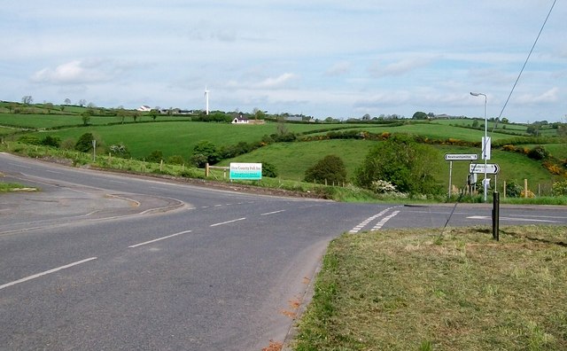
Image: © Eric Jones Taken: 16 May 2014
Here the north-south Moyhan Road is joined from the left by Ballymoyer Road and from the right by Kingsmill Road. The former leads to Newtownhamilton and the later to Bessbrook. Kingsmill Road was the scene of one of the worst atrocities during the Troubles.
Images are licensed for reuse under creativecommons.org/licenses/by-sa/2.0
Image Location
Latitude
54.222565
Longitude
-6.487224