Hopwood Woods
Introduction
The photograph on this page of Hopwood Woods by Tricia Neal as part of the Geograph project.
The Geograph project started in 2005 with the aim of publishing, organising and preserving representative images for every square kilometre of Great Britain, Ireland and the Isle of Man.

There are currently over 7.5m images from over 14,400 individuals and you can help contribute to the project by visiting https://www.geograph.org.uk
Hopwood Woods
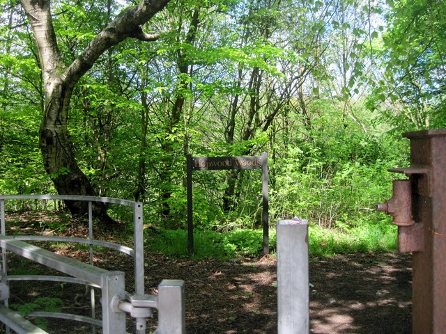
Image: © Tricia Neal Taken: 14 May 2014
This gateway leads into Hopwood Woods, a nature reserve, with many paths and streams. At this time of year there are quite a few bluebells, too.
Images are licensed for reuse under creativecommons.org/licenses/by-sa/2.0
Image Location
Latitude
53.562709
Longitude
-2.187019