Clarke Road, Lysaght Village, Newport
Introduction
The photograph on this page of Clarke Road, Lysaght Village, Newport by Jaggery as part of the Geograph project.
The Geograph project started in 2005 with the aim of publishing, organising and preserving representative images for every square kilometre of Great Britain, Ireland and the Isle of Man.

There are currently over 7.5m images from over 14,400 individuals and you can help contribute to the project by visiting https://www.geograph.org.uk
Clarke Road, Lysaght Village, Newport
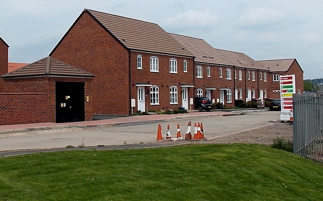
Image: © Jaggery Taken: 5 May 2014
Viewed from Lysaght Way in early May 2014. Clarke Road and its houses are recent additions to the Taylor Wimpey housing development on land formerly in the NE corner of the Tata Steel Orb steelworks site (originally Lysaght Orb steelworks). The small building on the left (black door) is a GTC electricity substation, identifier N0011635 LYSAGHT VILLAGE.
Images are licensed for reuse under creativecommons.org/licenses/by-sa/2.0
Image Location
Latitude
51.575783
Longitude
-2.969809