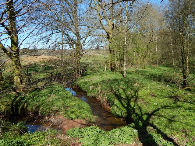
Confluence of burns
Introduction
The photograph on this page of Confluence of burns by Lairich Rig as part of the Geograph project.
The Geograph project started in 2005 with the aim of publishing, organising and preserving representative images for every square kilometre of Great Britain, Ireland and the Isle of Man.
There are currently over 7.5m images from over 14,400 individuals and you can help contribute to the project by visiting https://www.geograph.org.uk

Image: © Lairich Rig Taken: 18 Apr 2014
See Image, where this area appears on the right. The present picture shows what appears to be a single burn with a sharp turn in it, but it is a meeting of two burns: the one entering from the left is the Kirkhouse Burn; the other, which seems to be unnamed, runs near the edge of a strip of woodland. The burns meet here, and their combined waters flow beneath the track. These details are depicted on the 1:25000 map.

