Selwyn Close sign
Introduction
The photograph on this page of Selwyn Close sign by Hamish Griffin as part of the Geograph project.
The Geograph project started in 2005 with the aim of publishing, organising and preserving representative images for every square kilometre of Great Britain, Ireland and the Isle of Man.

There are currently over 7.5m images from over 14,400 individuals and you can help contribute to the project by visiting https://www.geograph.org.uk
Selwyn Close sign
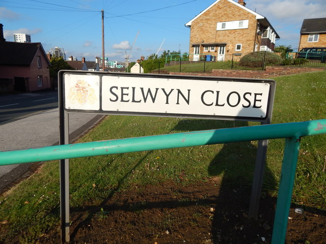
Image: © Hamish Griffin Taken: 13 May 2014
Belstead Road is the road on the left, The Mill (the tall white building) can be seen on the far left and The Wine Rack can be seen right of it.
Images are licensed for reuse under creativecommons.org/licenses/by-sa/2.0
Image Location
Latitude
52.049611
Longitude
1.150775