A465 footbridge, Garnlydan
Introduction
The photograph on this page of A465 footbridge, Garnlydan by Jaggery as part of the Geograph project.
The Geograph project started in 2005 with the aim of publishing, organising and preserving representative images for every square kilometre of Great Britain, Ireland and the Isle of Man.

There are currently over 7.5m images from over 14,400 individuals and you can help contribute to the project by visiting https://www.geograph.org.uk
A465 footbridge, Garnlydan
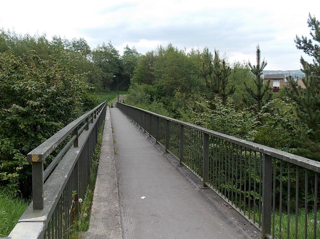
Image: © Jaggery Taken: 16 May 2014
Accessed on this side from Prince Philip Avenue in Garnlydan, the footbridge across the A465 Heads of the Valleys Road leads to Carmeltown at the edge of Beaufort.
Images are licensed for reuse under creativecommons.org/licenses/by-sa/2.0
Image Location
Latitude
51.802033
Longitude
-3.209604