Amelia Close, Newport
Introduction
The photograph on this page of Amelia Close, Newport by Jaggery as part of the Geograph project.
The Geograph project started in 2005 with the aim of publishing, organising and preserving representative images for every square kilometre of Great Britain, Ireland and the Isle of Man.

There are currently over 7.5m images from over 14,400 individuals and you can help contribute to the project by visiting https://www.geograph.org.uk
Amelia Close, Newport
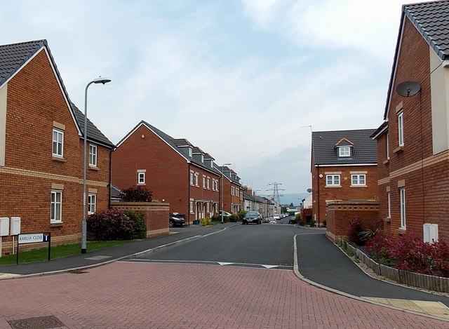
Image: © Jaggery Taken: 5 May 2014
Looking along Amelia Close from Amelia Avenue towards Portskewett Street. This is a through route for walkers and cyclists, but metal posts across the road ahead block access to Portskewett Street for cars and lorries.
Images are licensed for reuse under creativecommons.org/licenses/by-sa/2.0
Image Location
Latitude
51.580966
Longitude
-2.973672