Derry - Medieval Walled City - View of Bogside Area
Introduction
The photograph on this page of Derry - Medieval Walled City - View of Bogside Area by Suzanne Mischyshyn as part of the Geograph project.
The Geograph project started in 2005 with the aim of publishing, organising and preserving representative images for every square kilometre of Great Britain, Ireland and the Isle of Man.

There are currently over 7.5m images from over 14,400 individuals and you can help contribute to the project by visiting https://www.geograph.org.uk
Derry - Medieval Walled City - View of Bogside Area
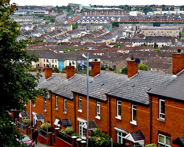
Image: © Suzanne Mischyshyn Taken: 24 Sep 2013
View is to the west of the dwellings along the upper northeast end of Fahan Street and the Bogside Area beyond where "The Troubles" took place and where the Wall Murals were created.
Images are licensed for reuse under creativecommons.org/licenses/by-sa/2.0
Image Location
Latitude
54.996262
Longitude
-7.324053