Castell Cawr
Introduction
The photograph on this page of Castell Cawr by matt jones as part of the Geograph project.
The Geograph project started in 2005 with the aim of publishing, organising and preserving representative images for every square kilometre of Great Britain, Ireland and the Isle of Man.

There are currently over 7.5m images from over 14,400 individuals and you can help contribute to the project by visiting https://www.geograph.org.uk
Castell Cawr
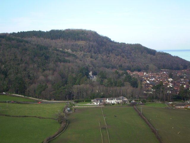
Image: © matt jones Taken: 10 Feb 2014
Castell Cawr, or locally Tan-y-Gopa, from Bryn Twr (Tower Hill) Abergele. Castell Cawr is an iron-age hillfort. The hill is 189 metres high. There are caves with rare lesser-horseshoe bats in.
Images are licensed for reuse under creativecommons.org/licenses/by-sa/2.0
Image Location
Latitude
53.275691
Longitude
-3.595602