
The Buckinghamshire Border
Introduction
The photograph on this page of The Buckinghamshire Border by Des Blenkinsopp as part of the Geograph project.
The Geograph project started in 2005 with the aim of publishing, organising and preserving representative images for every square kilometre of Great Britain, Ireland and the Isle of Man.

There are currently over 7.5m images from over 14,400 individuals and you can help contribute to the project by visiting https://www.geograph.org.uk
The Buckinghamshire Border
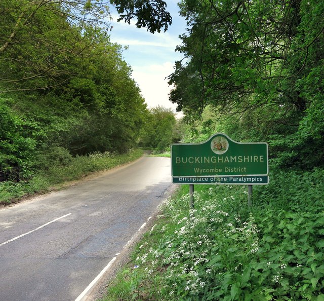
Image: © Des Blenkinsopp Taken: 19 May 2014
A small stream running under the road here separates Oxfordshire and Buckinghamshire. The bit about Paralympics has been added to the Bucks county sign. It refers to the 1948 Stoke Mandeville games held near Aylesbury, which was the first organized contest for athletes with disabilities. The event is recognized as the origin of today's Paralympic Games. http://www.bbc.co.uk/news/uk-14896776
Images are licensed for reuse under creativecommons.org/licenses/by-sa/2.0
Image Location

Latitude
51.714793
Longitude
-0.887731