Barker's Lane, March
Introduction
The photograph on this page of Barker's Lane, March by David Prestidge as part of the Geograph project.
The Geograph project started in 2005 with the aim of publishing, organising and preserving representative images for every square kilometre of Great Britain, Ireland and the Isle of Man.

There are currently over 7.5m images from over 14,400 individuals and you can help contribute to the project by visiting https://www.geograph.org.uk
Barker's Lane, March
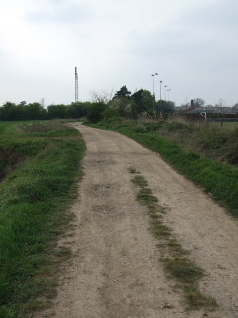
Image: © David Prestidge Taken: 12 Apr 2007
This old track runs south of the town's secondary school, and disappears into the fen.
Images are licensed for reuse under creativecommons.org/licenses/by-sa/2.0
Image Location
Latitude
52.536769
Longitude
0.093092