Path to Winslade Park Avenue
Introduction
The photograph on this page of Path to Winslade Park Avenue by Peter Holmes as part of the Geograph project.
The Geograph project started in 2005 with the aim of publishing, organising and preserving representative images for every square kilometre of Great Britain, Ireland and the Isle of Man.

There are currently over 7.5m images from over 14,400 individuals and you can help contribute to the project by visiting https://www.geograph.org.uk
Path to Winslade Park Avenue
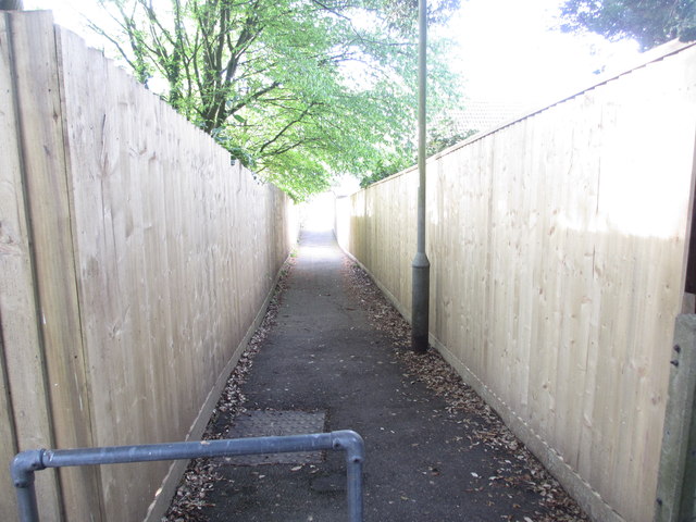
Image: © Peter Holmes Taken: 7 May 2014
Public right of way, Clyst St Mary footpath 1.
Images are licensed for reuse under creativecommons.org/licenses/by-sa/2.0
Image Location
Latitude
50.708611
Longitude
-3.450476