The Wey Navigation
Introduction
The photograph on this page of The Wey Navigation by Alan Hunt as part of the Geograph project.
The Geograph project started in 2005 with the aim of publishing, organising and preserving representative images for every square kilometre of Great Britain, Ireland and the Isle of Man.

There are currently over 7.5m images from over 14,400 individuals and you can help contribute to the project by visiting https://www.geograph.org.uk
The Wey Navigation
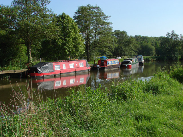
Image: © Alan Hunt Taken: 18 May 2014
Canal boats along the Wey Navigation near the junction with the Wey South.
Images are licensed for reuse under creativecommons.org/licenses/by-sa/2.0
Image Location


Leaflet Map data © OpenStreetMap
Latitude
51.209186
Longitude
-0.573405