The Manor House
Introduction
The photograph on this page of The Manor House by Mike Kirby as part of the Geograph project.
The Geograph project started in 2005 with the aim of publishing, organising and preserving representative images for every square kilometre of Great Britain, Ireland and the Isle of Man.

There are currently over 7.5m images from over 14,400 individuals and you can help contribute to the project by visiting https://www.geograph.org.uk
The Manor House
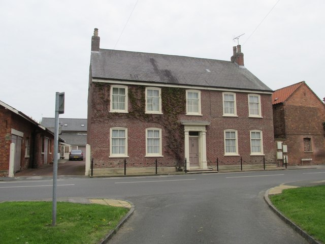
Image: © Mike Kirby Taken: 30 Apr 2014
Located in Finkle Street, this grade II listed house dates back to the late 1700’s. It was once owned by the Londesborough Estate. LBS No: 167050
Images are licensed for reuse under creativecommons.org/licenses/by-sa/2.0
Image Location
Latitude
53.865158
Longitude
-0.664528