The Dower House, Main Street Sutton Bonington
Introduction
The photograph on this page of The Dower House, Main Street Sutton Bonington by Alan Murray-Rust as part of the Geograph project.
The Geograph project started in 2005 with the aim of publishing, organising and preserving representative images for every square kilometre of Great Britain, Ireland and the Isle of Man.

There are currently over 7.5m images from over 14,400 individuals and you can help contribute to the project by visiting https://www.geograph.org.uk
The Dower House, Main Street Sutton Bonington
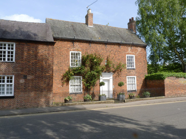
Image: © Alan Murray-Rust Taken: 15 May 2014
Late 18th century 3-bay house in red brick with slate roof. Listed Grade II. Note the firemarks http://www.geograph.org.uk/photo/3987367 above the doorway.
Images are licensed for reuse under creativecommons.org/licenses/by-sa/2.0
Image Location
Latitude
52.821343
Longitude
-1.251463