Stile on a county boundary
Introduction
The photograph on this page of Stile on a county boundary by Jonathan Billinger as part of the Geograph project.
The Geograph project started in 2005 with the aim of publishing, organising and preserving representative images for every square kilometre of Great Britain, Ireland and the Isle of Man.

There are currently over 7.5m images from over 14,400 individuals and you can help contribute to the project by visiting https://www.geograph.org.uk
Stile on a county boundary
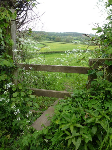
Image: © Jonathan Billinger Taken: 10 May 2014
The western slope of May Hill beyond. The path heads east from Barrel Lane towards May Hill with Herefordshire to the left (north) and Gloucestershire to the right.
Images are licensed for reuse under creativecommons.org/licenses/by-sa/2.0
Image Location
Latitude
51.89275
Longitude
-2.465395