Ebrie Burn, Arnage
Introduction
The photograph on this page of Ebrie Burn, Arnage by Colin Smith as part of the Geograph project.
The Geograph project started in 2005 with the aim of publishing, organising and preserving representative images for every square kilometre of Great Britain, Ireland and the Isle of Man.

There are currently over 7.5m images from over 14,400 individuals and you can help contribute to the project by visiting https://www.geograph.org.uk
Ebrie Burn, Arnage
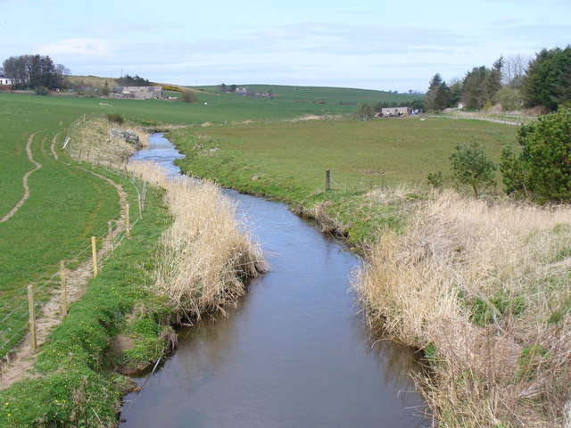
Image: © Colin Smith Taken: 7 Apr 2007
Looking north from the Mordon Road End. This side valley of the Ythan is mainly grazing land.
Images are licensed for reuse under creativecommons.org/licenses/by-sa/2.0
Image Location


Leaflet Map data © OpenStreetMap
Latitude
57.413785
Longitude
-2.114344