Cul-de-sac on the northern outskirts of Belleek
Introduction
The photograph on this page of Cul-de-sac on the northern outskirts of Belleek by Eric Jones as part of the Geograph project.
The Geograph project started in 2005 with the aim of publishing, organising and preserving representative images for every square kilometre of Great Britain, Ireland and the Isle of Man.

There are currently over 7.5m images from over 14,400 individuals and you can help contribute to the project by visiting https://www.geograph.org.uk
Cul-de-sac on the northern outskirts of Belleek
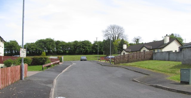
Image: © Eric Jones Taken: 16 May 2014
This recent addition to the village stands off Carrickananny Road.
Images are licensed for reuse under creativecommons.org/licenses/by-sa/2.0
Image Location
Latitude
54.185972
Longitude
-6.485191