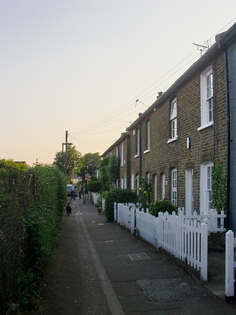
Railway Side, Barnes
Introduction
The photograph on this page of Railway Side, Barnes by Stefan Czapski as part of the Geograph project.
The Geograph project started in 2005 with the aim of publishing, organising and preserving representative images for every square kilometre of Great Britain, Ireland and the Isle of Man.
There are currently over 7.5m images from over 14,400 individuals and you can help contribute to the project by visiting https://www.geograph.org.uk

Image: © Stefan Czapski Taken: 17 May 2014
No longer quite as close to the railway as the name might suggest. These days a roughly triangular plot of land (used as allotments) lies between Railway Side and the Waterloo-Windsor line. However, a railway line once passed much closer. West of Barnes station the line out of Waterloo forks - one branch running west to Windsor, the other north-west towards Hounslow (the Hounslow Loop). The Barnes Curve - which once ran parallel to Railway Side - completed a triangular layout, leaving the Windsor line near White Hart Lane, and joining the Hounslow line close to Barnes Bridge. All the lines involved were built by the London & South Western Railway. The Barnes Curve opened to traffic in 1862, but was lifted as early as 1881. I can find no reference to it in Dendy Marshall's 'History of the Southern Railway' - and my prime source of information is Ian Yarham's Geograph: http://www.geograph.org.uk/photo/2237211

