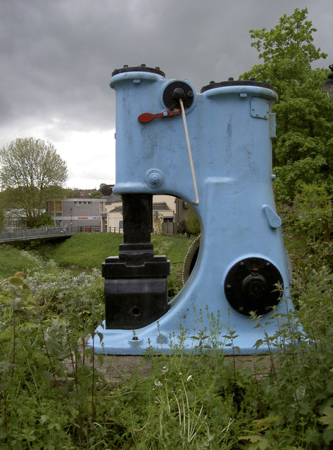
Blue hammer power
Introduction
The photograph on this page of Blue hammer power by Neil Owen as part of the Geograph project.
The Geograph project started in 2005 with the aim of publishing, organising and preserving representative images for every square kilometre of Great Britain, Ireland and the Isle of Man.
There are currently over 7.5m images from over 14,400 individuals and you can help contribute to the project by visiting https://www.geograph.org.uk

Image: © Neil Owen Taken: 13 May 2014
The sight of some old fashioned industrial machinery is not so unexpected when the history of this site is revealed. This is part of the former Singers foundry, where plenty of original ironworking went on. Since it has now become a residential estate, an effort has been made to keep at least a few pieces here to mark the contribution it made to the local economy. See Image] for a frontal view, or Image] for more heavy iron.

