Copperas Lane Swingbridge from the east [1]
Introduction
The photograph on this page of Copperas Lane Swingbridge from the east [1] by Christine Johnstone as part of the Geograph project.
The Geograph project started in 2005 with the aim of publishing, organising and preserving representative images for every square kilometre of Great Britain, Ireland and the Isle of Man.

There are currently over 7.5m images from over 14,400 individuals and you can help contribute to the project by visiting https://www.geograph.org.uk
Copperas Lane Swingbridge from the east [1]
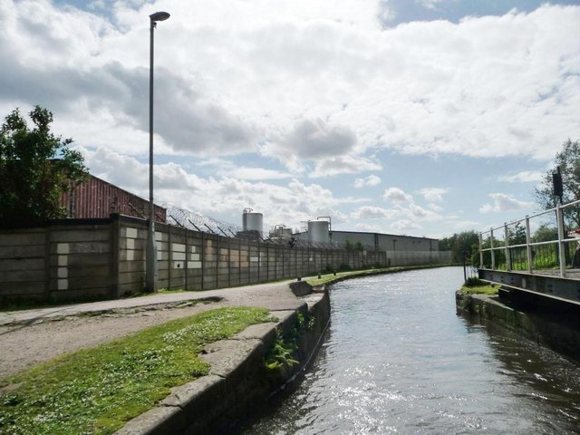
Image: © Christine Johnstone Taken: 9 May 2014
No 15 on the Ashton Canal. Taken from the back of a narrowboat which is just passing through.
Images are licensed for reuse under creativecommons.org/licenses/by-sa/2.0
Image Location
Latitude
53.476014
Longitude
-2.157558