Start of the 30mph maximum speed zone at the western edge of Tintern
Introduction
The photograph on this page of Start of the 30mph maximum speed zone at the western edge of Tintern by Jaggery as part of the Geograph project.
The Geograph project started in 2005 with the aim of publishing, organising and preserving representative images for every square kilometre of Great Britain, Ireland and the Isle of Man.

There are currently over 7.5m images from over 14,400 individuals and you can help contribute to the project by visiting https://www.geograph.org.uk
Start of the 30mph maximum speed zone at the western edge of Tintern
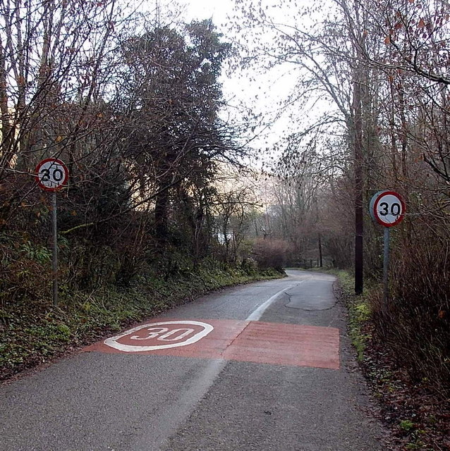
Image: © Jaggery Taken: 19 Jan 2014
The speed limit along a road descending through the Angiddy Valley decreases to 30mph from the National Speed Limit.
Images are licensed for reuse under creativecommons.org/licenses/by-sa/2.0
Image Location
Latitude
51.69866
Longitude
-2.696067