Stirling Road, Drymen
Introduction
The photograph on this page of Stirling Road, Drymen by Chris Heaton as part of the Geograph project.
The Geograph project started in 2005 with the aim of publishing, organising and preserving representative images for every square kilometre of Great Britain, Ireland and the Isle of Man.

There are currently over 7.5m images from over 14,400 individuals and you can help contribute to the project by visiting https://www.geograph.org.uk
Stirling Road, Drymen
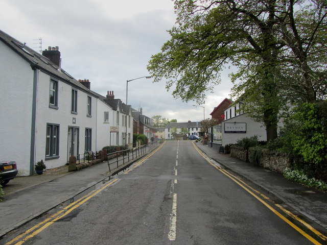
Image: © Chris Heaton Taken: 12 May 2014
Entering the centre of the village. Drymen is the usual first stop for walkers hiking along the West Highland Way National Trail, even though the route passes about half a mile to the east. It boasts all the facilities that are necessary - a hot shower, comfy bed and pleasant evening meal, with convivial company.
Images are licensed for reuse under creativecommons.org/licenses/by-sa/2.0
Image Location
Latitude
56.066023
Longitude
-4.451621