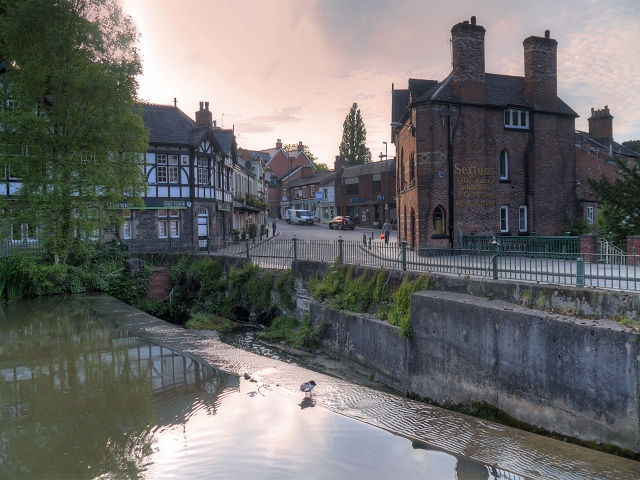
Lymm Dam at Lymm Bridge
Introduction
The photograph on this page of Lymm Dam at Lymm Bridge by David Dixon as part of the Geograph project.
The Geograph project started in 2005 with the aim of publishing, organising and preserving representative images for every square kilometre of Great Britain, Ireland and the Isle of Man.
There are currently over 7.5m images from over 14,400 individuals and you can help contribute to the project by visiting https://www.geograph.org.uk

Image: © David Dixon Taken: 15 May 2014
Lymm Dam was built in 1824 when the turnpike road, which later became the present day A56, was created from Warrington to Stockport. Even in the early 19th century, there was concern over traffic congestion and local opposition prevented the road from passing through the centre of the village and so it was decided that the new road should cross what was then 'a pool and stream' in the valley below St Mary's Church. In order to do this, an earth dam was constructed across the valley and, after its completion, the pool and stream below the church became the lake which is now known as Lymm Dam. More information is available at http://lymm.com/about/history-of-lymm/lymm-dam-history - the history of Lymm Dam.

